Related chart types

Map

Choropleth
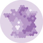
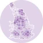
Hexbin map
Cartogram

Connection

Bubble map